Trail Running @ Lake Guntersville State Park – Seales & Lickskillet Trails
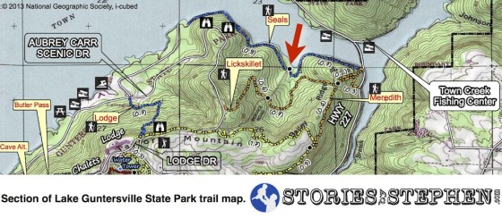
I turned hear and headed up the service road. It was approximately 0.3 miles up the road from the Seales Trail to the Lickskillet Trail.
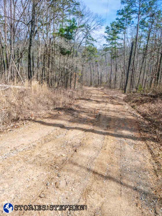
When I turned on the service road, it started the most difficult section of running I have done at Lake Guntersville State Park.
The service road goes straight up-hill, and when I turned right onto the Lickskillet Trail, it was also straight uphill. From the bottom of the service road to the top of the Lickskillet Trail, it gains 430 feet of elevation in 1 mile. This is definitely the place to come for long hill runs.
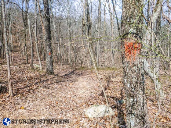
Turning right onto the Lickskillet Trail from the service road, there are no signs marking the trail. I just had to watch for orange tree markings.
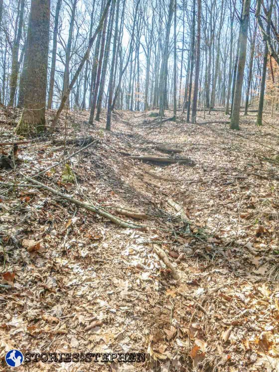
The Lickskillet Trail climbs quickly, with lots of roots.
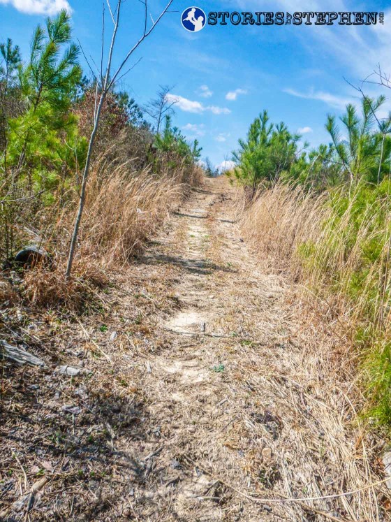
Approaching the top end of the Lickskillet Trail, still going uphill.
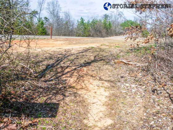
Top (west) end of the Lickskillet Trail.
The top (west) end of the Lickskillet Trail meets the main road (Aubrey Carr Scenic Drive) in Lake Guntersville State Park.
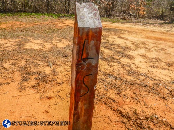
Another example of how the trails could use new signage.
I had driven past this spot before my run, as I was thinking I might start my run here. However, I did not see the trail head when I was driving through the park because there is not a real sign or trail map posted here. There is just a wooden post with “LS” written on it.
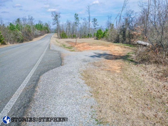
This is the view from the road where you can pull off and park to run or hike the Lickskillet Trail.
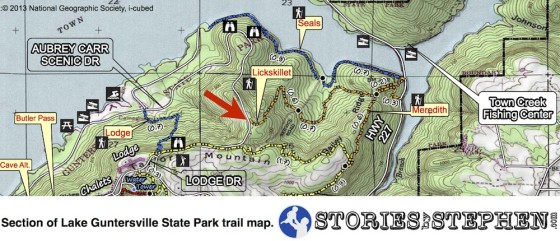
When I reached the road at the top of the Lickskillet Trail, I saw that a trail continued on the other side of the road, but this other trail was not marked. It was also not on the trail map. I figured maybe it was an old trail that had not been kept up or finished, so they discontinued it or something. Later I noticed on the park website that the Lickskillet Trail is described as a 2.5 mile trail from the campground all the way to Hwy. 227 near Town Creek, but the trail map only shows about 1.6 miles of the Lickskillet Trail. So apparently there is another section of the trail that is nearly a mile long, and it runs from this spot on Aubrey Carr Scenic Drive across to the campground. It is not on the map, and I have not run or hiked it myself yet to account for the difficulty and condition of the trail.
At this point I turned around and descended back down the Lickskillet Trail. If you enjoy going downhill, you would love this stretch of trail. Personally, I love running down long, slightly declining hills, but I do not enjoy descending steep trails because of the rocks and roots trying to make me stumble.
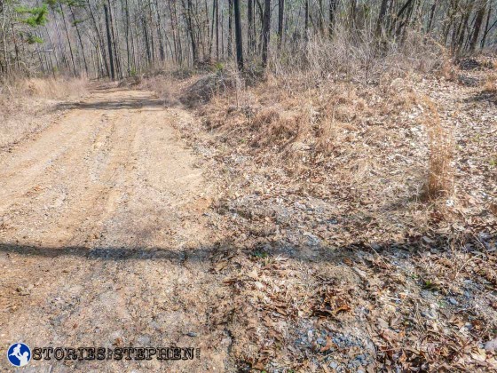
After turning around at Aubrey Carr Scenic Drive and going back downhill (east) on the Lickskillet Trail, I crossed the service road 0.6 miles later.
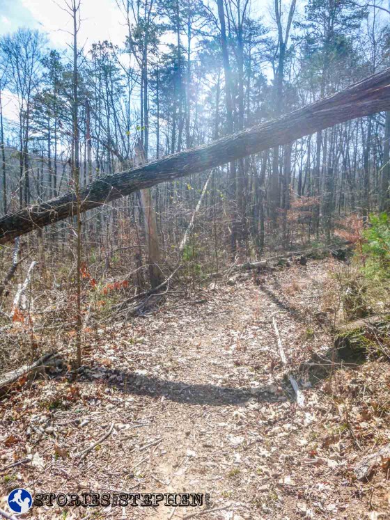
Watch for fallen trees hanging over the Lickskillet Trail after crossing the service road going back down (east) the trail.
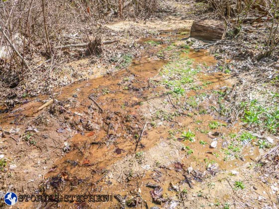
There were some wet, muddy sections of the Lickskillet Trail toward the east end.
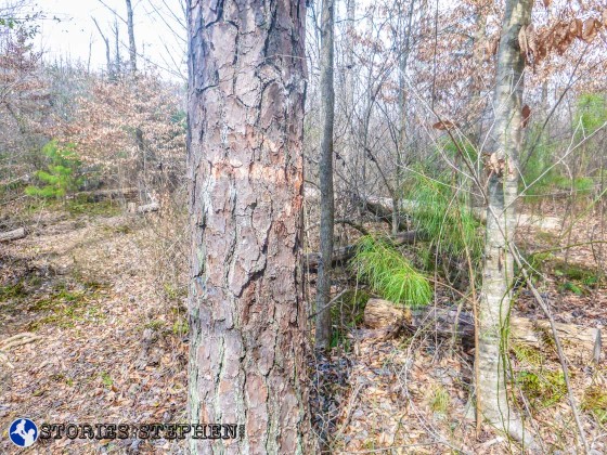
Remember to follow orange on the Lickskillet Trail.
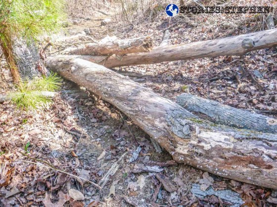
More trip hazards.
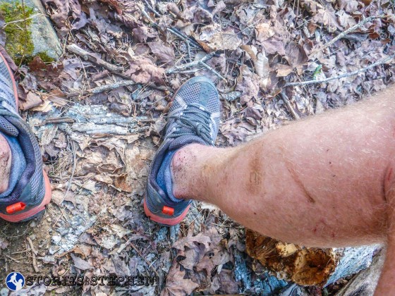
My legs have continued to take a beating on this trail run.
CONTINUE ON THE NEXT PAGE

