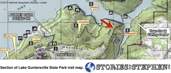
Trail Running @ Lake Guntersville State Park – Seales & Lickskillet Trails
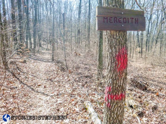
0.3 miles from the east end of the Lickskillet Trail, it crosses the Meredith Trail.
This is 0.2 miles from the north end of the Meredith Trail, which actually begins at the same place as the east end of the Seales Trail near where I parked my Jeep. So at this point I turned left (north) on the Meredith Trail to head back to my car.
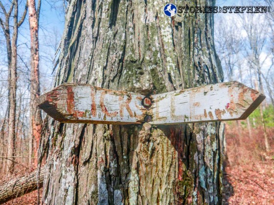
Another trail sign that could use replacing.
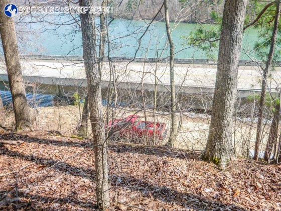
Finishing my run I can look down on the parking area just off Hwy. 227 where I left my Jeep.

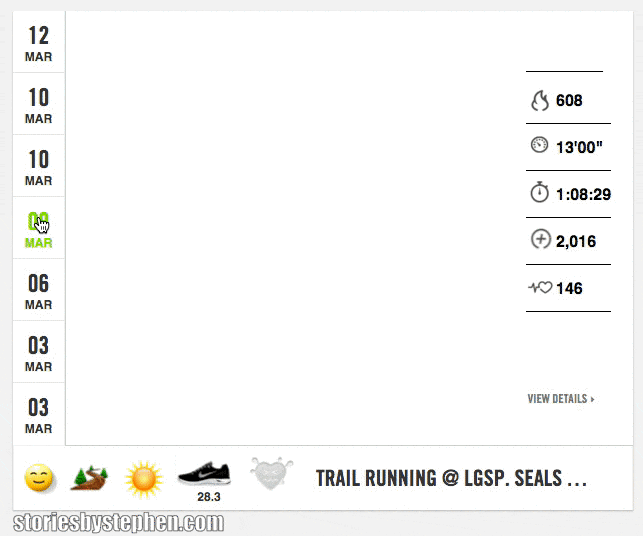
I only ran 5.2 miles on the trails this day, but I gained over 1,200 feet of elevation on the inclines. Notice the giant elevation spike as I was running up the service road and the Lickskillet Trail.
Animation of my trail run covering the Seales Trail and Lickskillet Trail.
CHECK OUT ALL MY POSTS ABOUT RUNNING