Exploring Lake Guntersville State Park: Trail Run #3 (Taylor Mountain, Butler Pass, Moonshine, King’s Chapel, Waterfall, Cascade, Golf Course, Old Still, Terrell Connector)
As I continue training for my 1st trail race next month, this week I went back to Lake Guntersville State Park for my 3rd try at trail running. I ran several trails, including, at least in part, the Taylor Mountain, Butler Pass, Moonshine, King’s Chapel, Waterfall, Cascade, and Golf Course Loop Trails. Click here to read about my 1st experience trail running, and click here to read about running the beautiful Cutchenmine Trail. I am blessed to only live 10 mies from such a place where I can explore the scenery of God’s amazing creation. Keep reading to see my pictures and descriptions of this week’s trail run, as I continue to run the numerous trails at Lake Guntersville State Park.

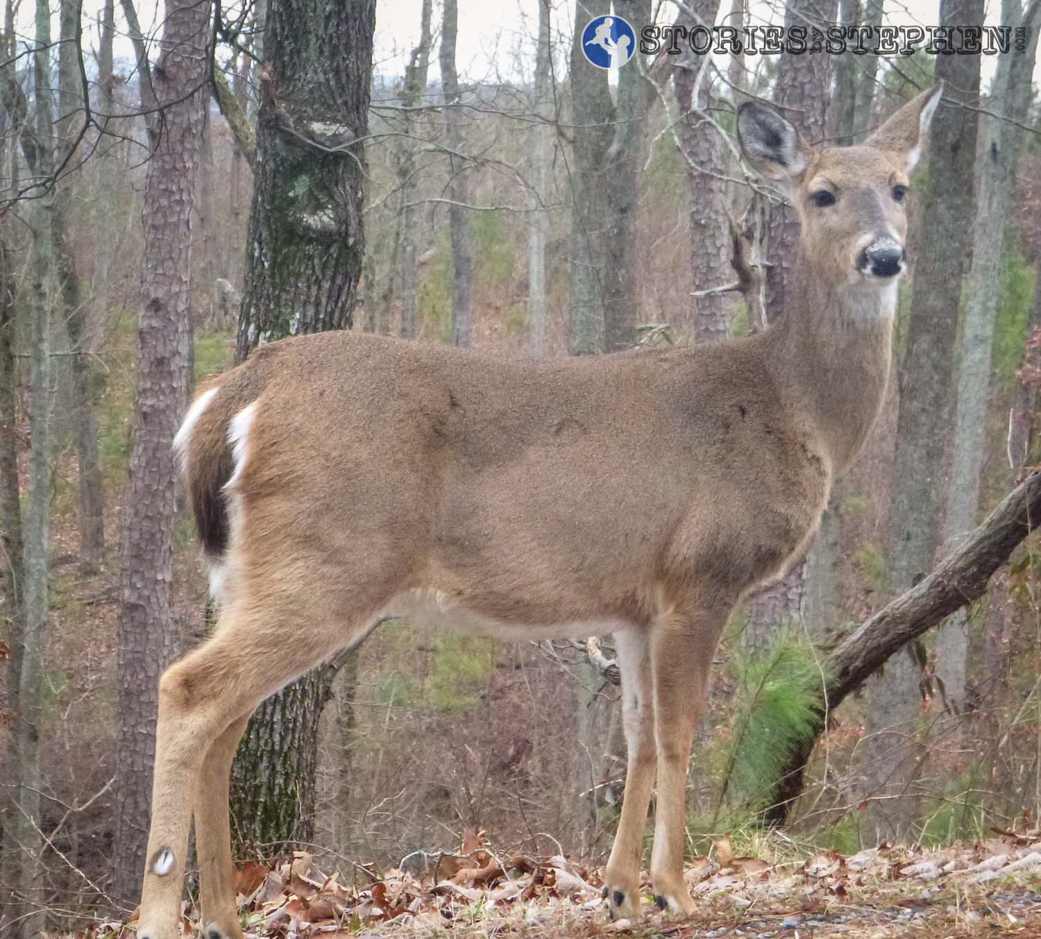
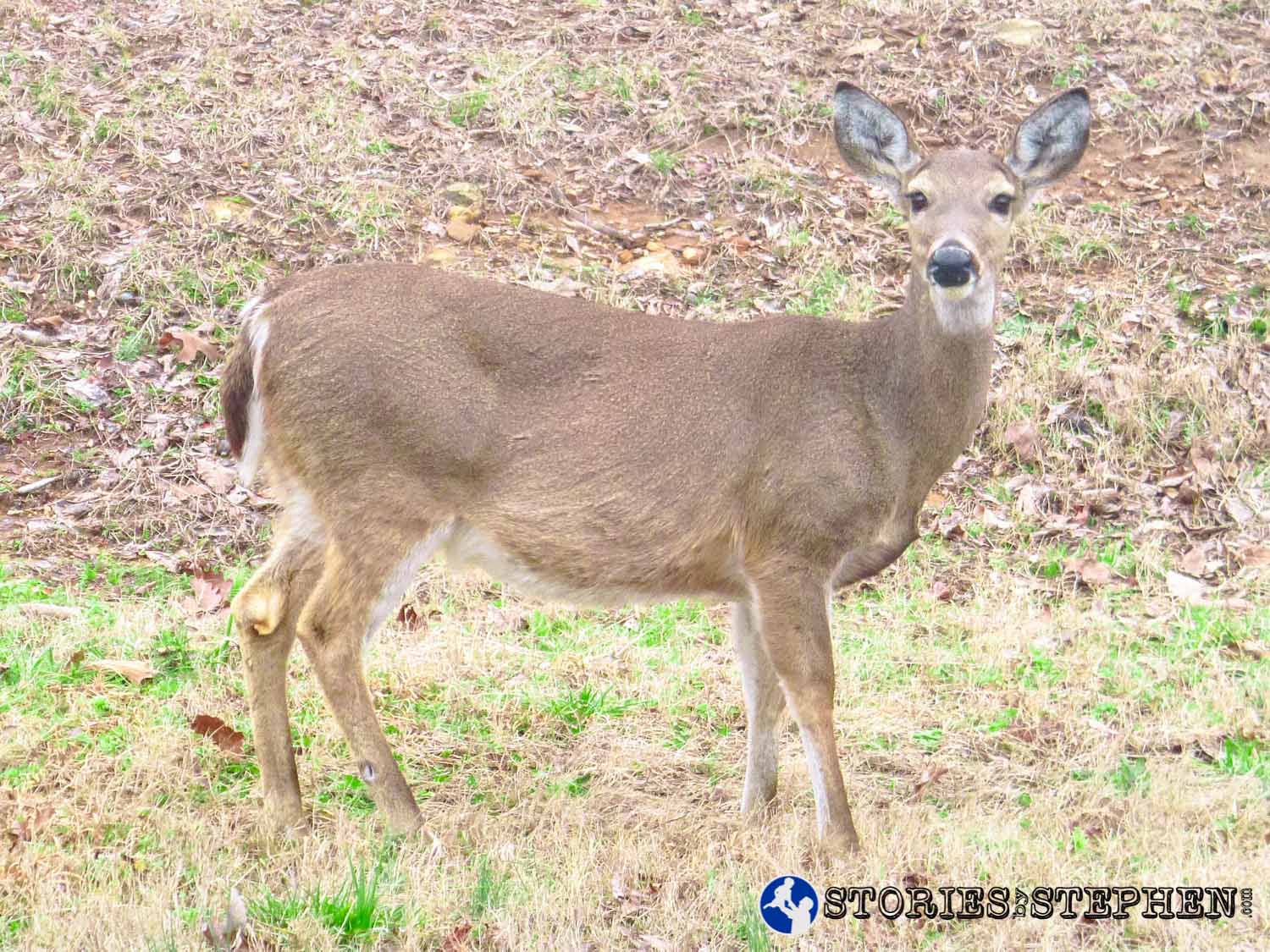
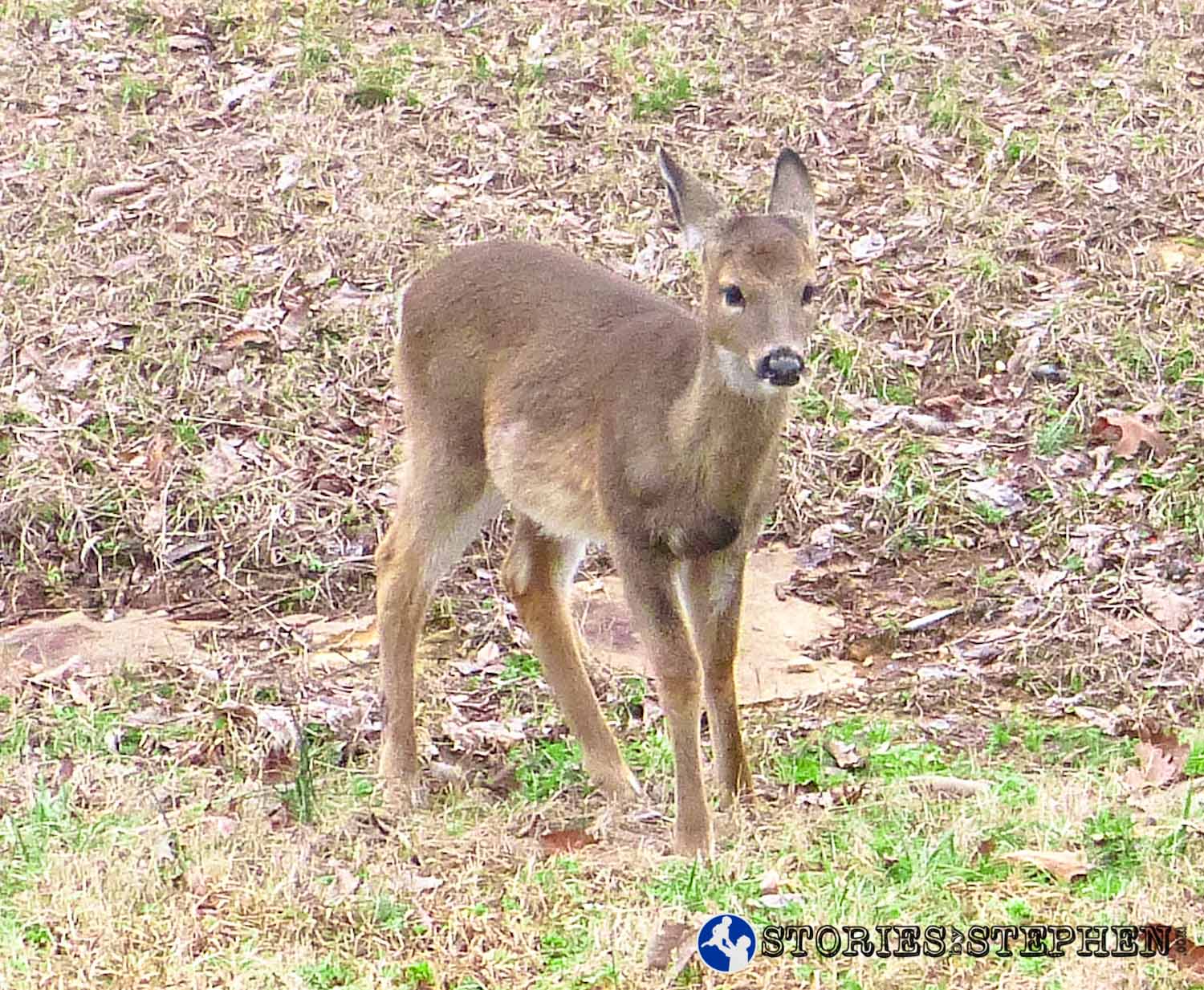
I saw numerous deer this week, as they seem to be plentiful at Lake Guntersville State Park.

My car parked at the lodge.
I parked at the Lodge, which is at the highest point in the park, so I started by running downhill this time. Unfortunately, that just means lots of climbing at the end of the run when I am exhausted.
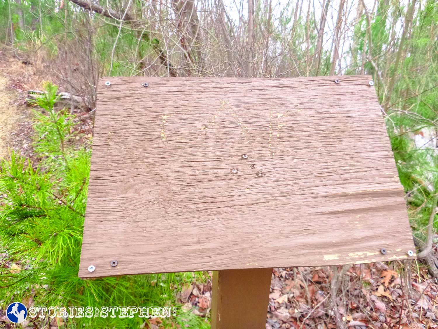
Generic trail marker.
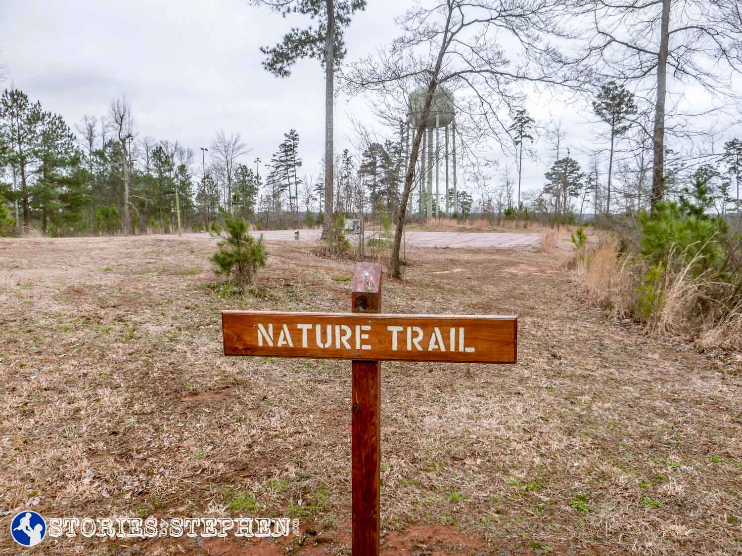
My plan was to head south on the Waterfall Trail and then branch out to a few other short trails from there. I could tell by the map that this trail started near the water tower. Much like my experience a couple weeks ago on the Tom Bevill Trail, I found that more of the trails were either unmarked or insufficiently marked. All I could find was this sign that says “Nature Trail.” It was not even at the actual trail head, but just toward the general area where a trail might be. It took me a few minutes to figure out where to go from here.

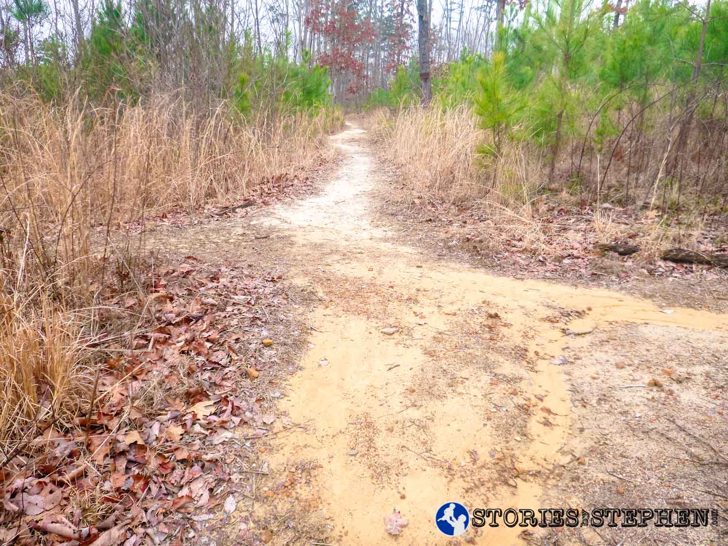
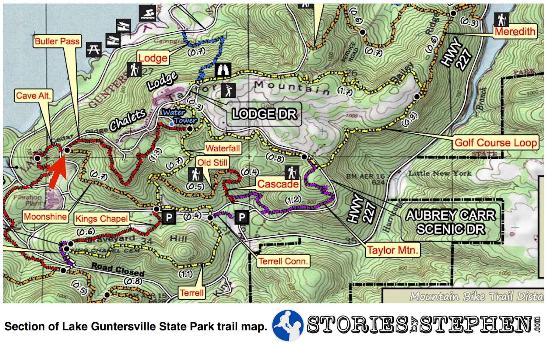
The red arrow marks the starting point of my trail run at Lake Guntersville State Park.

There are lots of fallen, or half-fallen, trees around the park, perhaps dating all the way back to the 2011 tornadoes that ravaged Lake Guntersville State Park.

2 days after heavy rainfall, there was plenty of mud and red clay on the trails. The trails were also quite rocky.
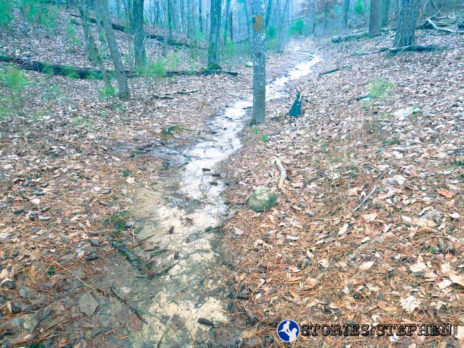
There were stretches of trail where water was flowing down the trail like a shallow creek.

Old Still Trail marker. The Old Still Trail branches off from the Waterfall Trail.

The Waterfall, Old Still and Cascade Trails all run in the same general area, and at 1st I could not figure out if this was the “waterfall” or the “cascades.” I later found what I thought were the cascades, so I am guessing this it the waterfall. It is more like a light stream flowing down a mountain with lots of very small waterfalls over the course of a couple hundred yards.


Sign marking a crossroads of 4 trails.
This is what I would call the central point of the entire state park. It is a crossroads area where 4 different trails intersect: Waterfall Trail (North), King’s Chapel Trail (South), Moonshine Trail (West) and the Terrell Connector Trail (East) that takes you to the Terrell Trail and Taylor Mountain Trail. The individual trails are not marked with signs, so you must decipher the map posted here. This is a prime example of how the trails could use better signage, but for now, if you want to find your way around the park without getting too lost, you absolutely must carry a map and read the various maps posted at some trailheads. The maps posted at the trailheads vary slightly from the trail map you can buy at the park office or download from the park website here. These variances can be useful to navigate the trails, so I definitely recommend taking advantage of the posted maps.

The red arrow marks the southern/ central crossroads area where 4 trails intersect at Lake Guntersville State Park.
Right next to this central crossroads area is a gravel parking area, but the reason I started my run at the lodge instead of at this parking area is because there were several signs that say “Fee Area.” Once again, the signs did not provide adequate information, as there was no further instruction about these fees. I did not want to park there and get ticketed for now paying these fees, so I skipped it to avoid this risk.

Unique wooden bridge on the Terrell Connector Trail, heading toward the Taylor Mountain Trail.

The red arrow marks the Terrell Connector Trail at Lake Guntersville State Park.

Southwest trail head for the Taylor Mountain Trail. Certain trailheads had nice signs, while others were unmarked.

An unmarked fork in the Taylor Mountain Trail. The correct path to continue following Taylor Mountain is to cross the small wooden bridge to the right.

At this unmarked fork, the trail to the left has no signage, but it does have blue trail markers on the trees. I believe it is part of the Cascade Trail, but this particular intersection is unmarked.

Soon after passing the unmarked fork in the trail, I came across this rocky area, which appears to possibly be the “Cascades” because it is near the intersection of the Taylor Mountain and Cascade Trails.


Signs marking the intersection of the Cascade and Taylor Mountain Trails.
The Cascade Trail has blue markers, while the Taylor Mountain Trail has yellow markers. These trail markers are another point of confusion within Lake Guntersville State Park. When looking at the trail map that you can download or purchase ($0.25 at campground office), the Cascade Trail looks like it should be marked with red, while Taylor Mountain looks purple. However, if you read the descriptions of the trails here on the state park website, the correct trail marker colors are given. Unfortunately it conflicts with the map that you actually carry with you.

The red arrow marks the intersection of the Cascade and Taylor Mountain Trails at Lake Guntersville State Park.

Deer tracks on the Taylor Mountain Trail.

Deer tracks on the Taylor Mountain Trail. I was confused by the 3 sections, as deer hooves only have 2 toes. It turns out that it is common to find tracks with 3 toes simply because deer tend to step onto their front tracks again with their rear hooves.

Red dirt/clay section of the Taylor Mountain Trail.
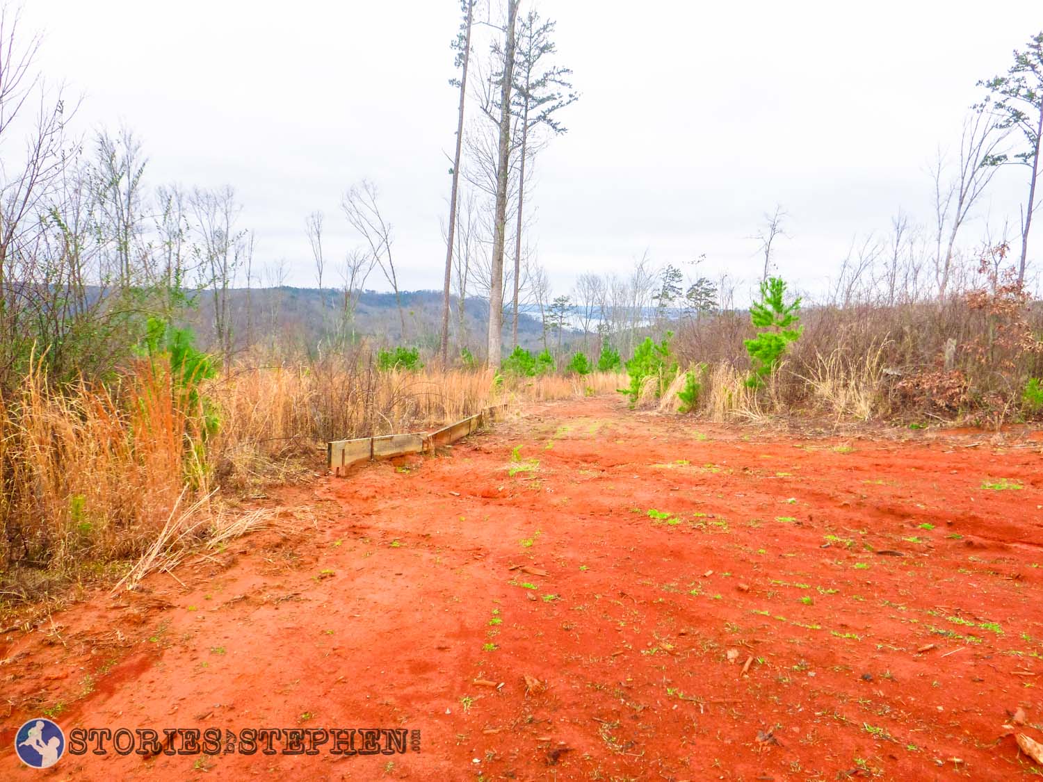
Open area of red dirt/clay on the Taylor Mountain Trail.

View of Lake Guntersville in the distance. This brief overlook on Taylor Mountain is one of the only times I actually had a view of the lake from any of the trails I ran that day.

Sign marking the northeast end of the Taylor Mountain Trail where it intersects with the Golf Course Loop.
At this point the only way to know you are entering the Golf Course Loop is to once again read the maps. There is no sign that says “Golf Course Loop” with an arrow, but the posted map does give a brief description of the Golf Course Loop. I was hesitant to run that trail because I thought it would wind through or on the edge of the golf course and not be very woodsy. However, the section that I ran on the Golf Course Loop was just like every other trail I ran that day. It went through the woods with a few bridges and creek crossings. I never even saw the golf course, so the loop must encircle the golf course area with a layer of trees between the trail and the greens. I ran the southwest section of the Golf Course Loop between the Taylor Mountain Trail and Waterfall Trail.

The red arrow marks the intersection of the Taylor Mountain Trail and Golf Course Loop at Lake Guntersville State Park.

This wooden bridge on the Golf Course Loop is usable, but it could use some maintenance.

This short covered bridge on the Golf Course Loop needs some serious repair.

This is a unique “bridge” on the Golf Course Loop. I hesitate to call it a bridge since the creek runs straight over it instead of under it.

Before reaching the water tower, there is another crossroads where 4 trails intersect.
When I saw the water tower, I knew I was near the lodge where I had started my trail run. At this intersection I had run a nearly 4 mile loop down, around and back up a mountain. Earlier I discussed the central crossroads, which I might also call the southern crossroads. By comparison this is the northern crossroads at the top of the mountain near the lodge. Like the southern crossroads, this 4-way intersection has no signs to signify which 4 trails are crossing here. Unlike the southern crossroads, this intersection does not even have a map posted. You have to figure this out with a handheld map.
The following trails meet at this northern crossroads: Waterfall Trail (South), Golf Course Loop (East), Nature Trail (North toward the lodge. It is not named this on the trail map.), and Butler Pass (West).

The red arrow marks the northern crossroads area where 4 trails intersect near the lodge at Lake Guntersville State Park.
There are no trail markers at this 4-way intersection.
The northern crossroads has a wooden post that could hold a map or sign, but right now it sits empty and useless.

The intersection does include another generic “Nature” sign.
The state park website does describe a “Nature Trail,” but there is no such trail included on the trail map. It turns out it is the northern end of Waterfall Trail.

From the northern intersection, the “Nature Trail” heads north toward the water tower and the lodge.
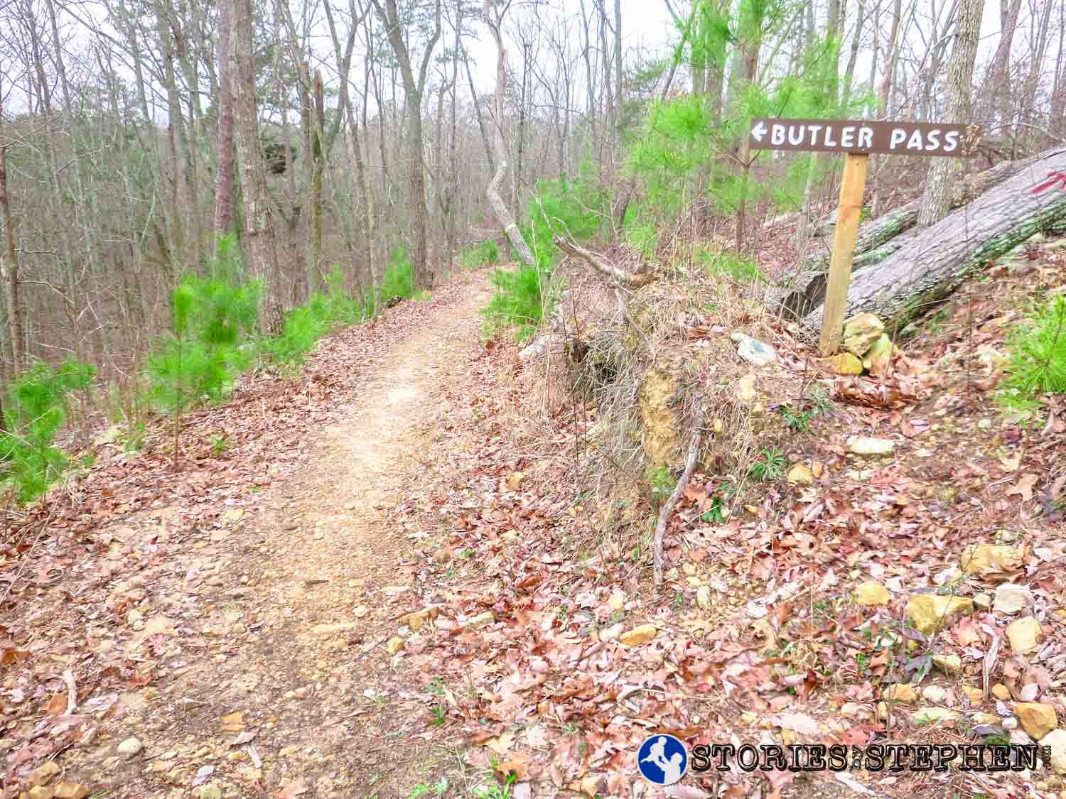
From the northern crossroads I headed west to run the Butler Pass Trail, which was not marked until a little ways down the trail from the 4-way intersection. This sign marks the eastern end of Butler Pass.
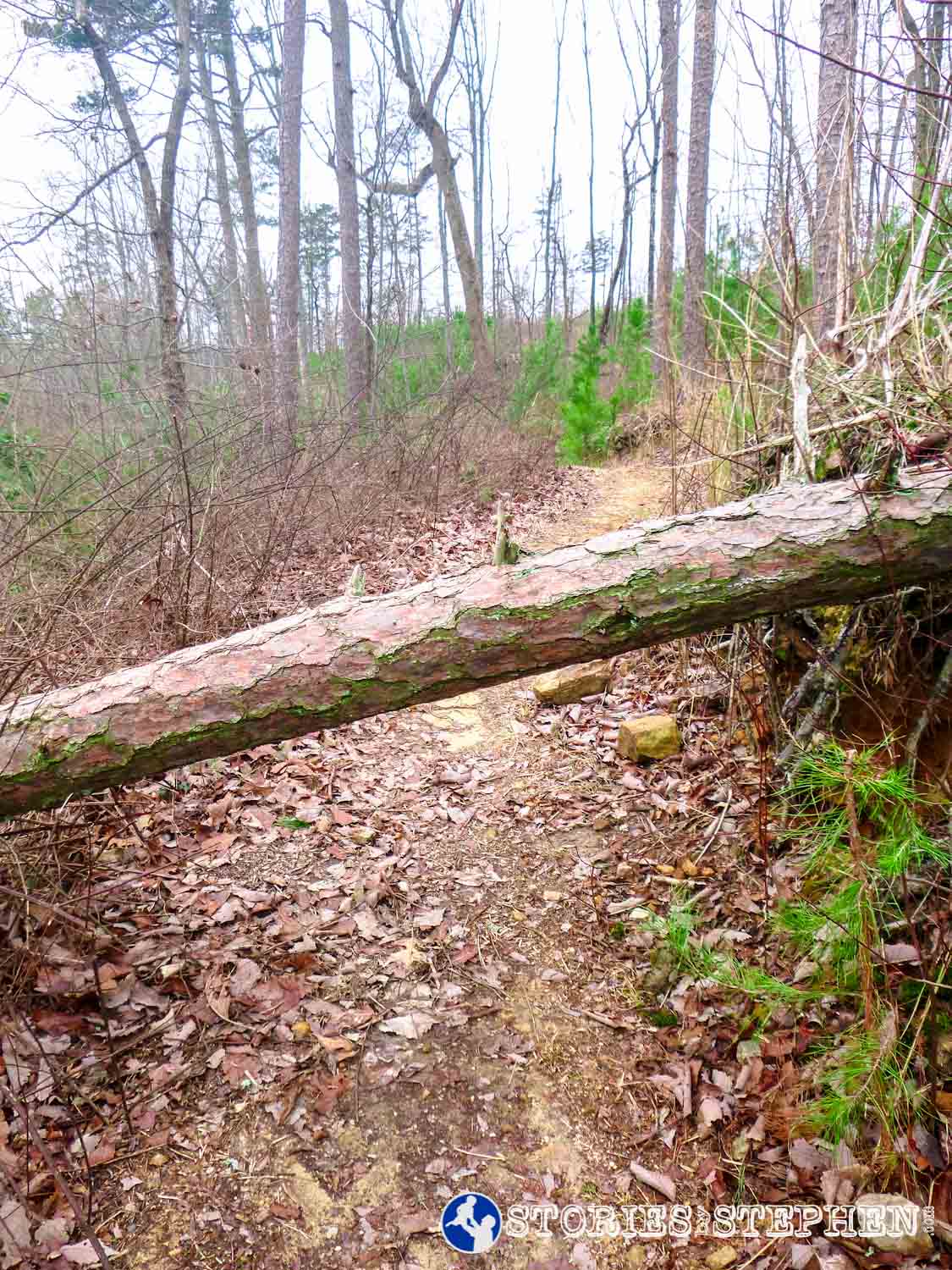
Fallen tree on Butler Pass.

Lake view from a high point on Butler Pass.
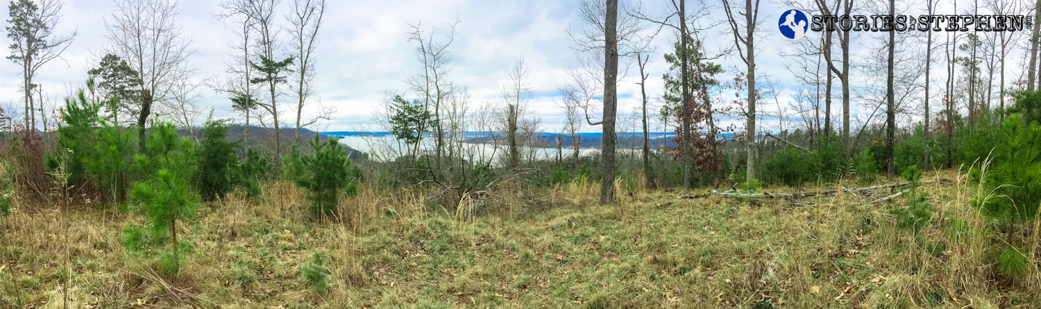
Panoramic lake view from Butler Pass. As a point of reference, this grassy area is located just under a wooden lookout platform that belongs to a private residence (perhaps a park ranger).

Lake view from Butler Pass.
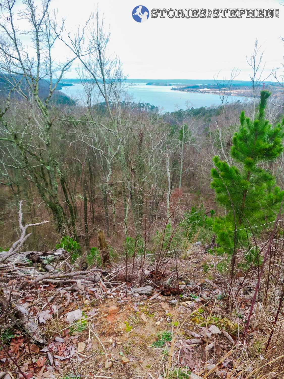
Lake view from Butler Pass.
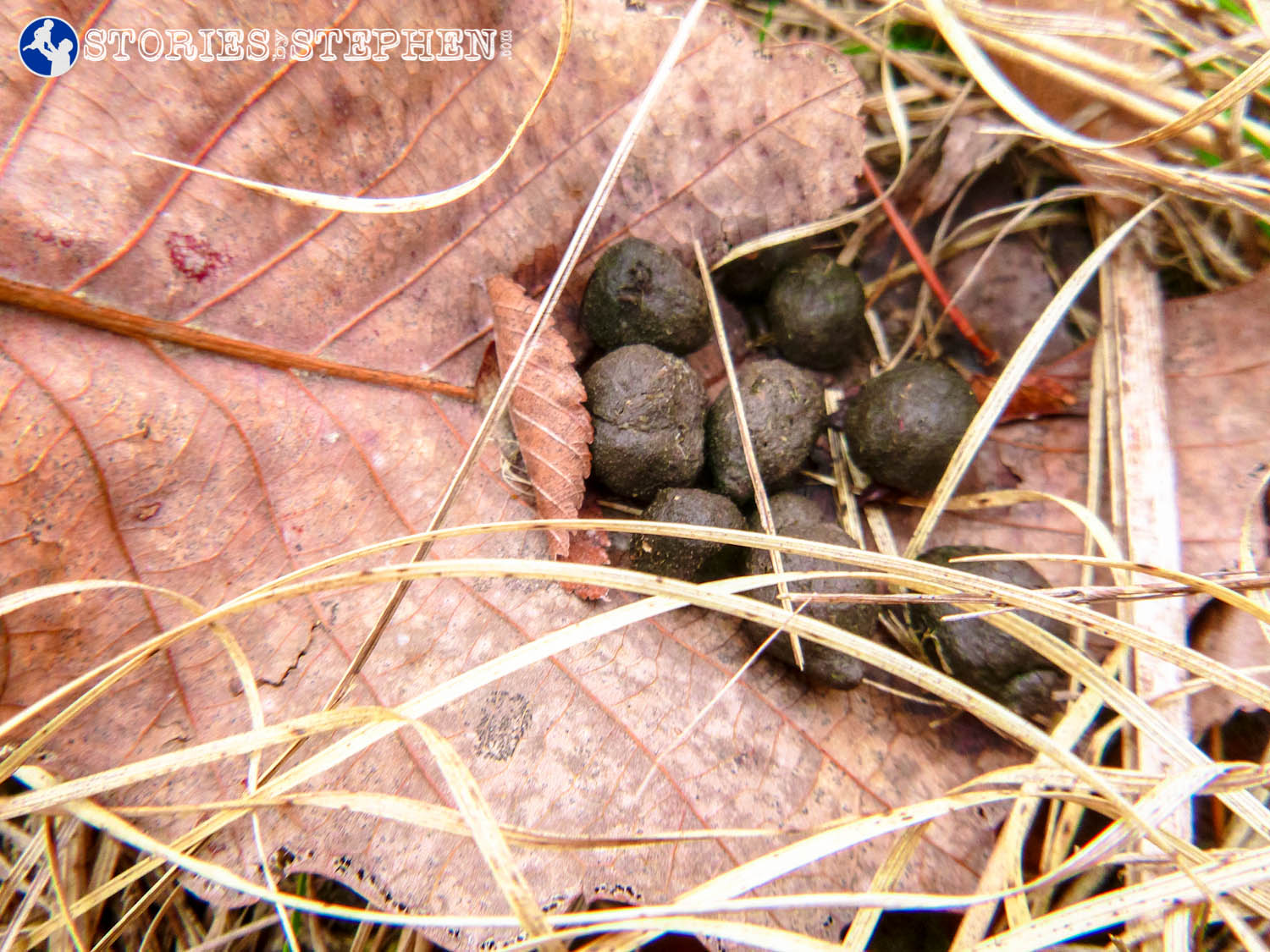
More evidence of all the deer in the area: deer droppings.

Area of large rocks on Butler Pass.

The youth minister in me loves it when I find places like this with lots of large rocks. This would make a great place for a group or family to stop and eat lunch or for a youth group to have a devotional.


Sign marking the western end of the Butler Pass Trail. From this point the Cave Alternate Trail runs further to the west, while the Moonshine Trail runs to the southeast. At this point I ran the Moonshine Trail back toward the southern crossroads area.

Map posted at the western end of the Butler Pass Trail.
The red arrow marks the intersection of the Butler Pass and Moonshine Trails at Lake Guntersville State Park.
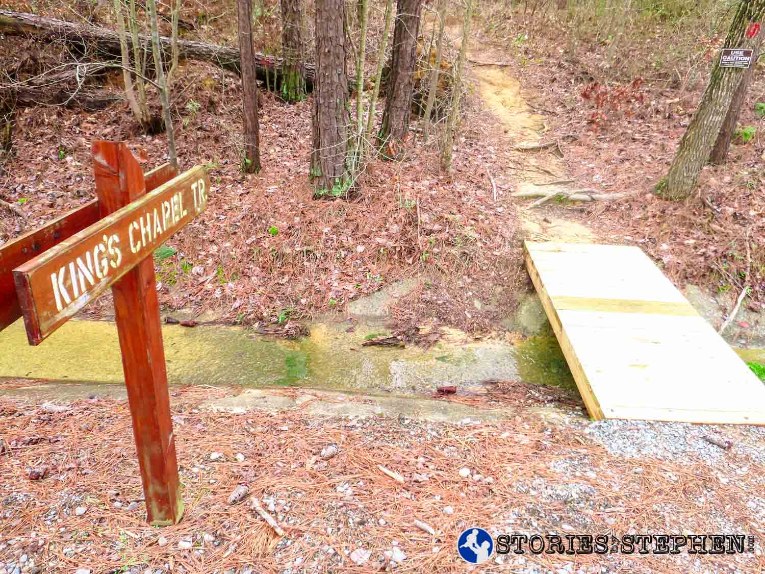
Sign marking the trailhead for King’s Chapel Trail. This trailhead is just across the road from the gravel parking area by the southern crossroads 4-way trail intersection.
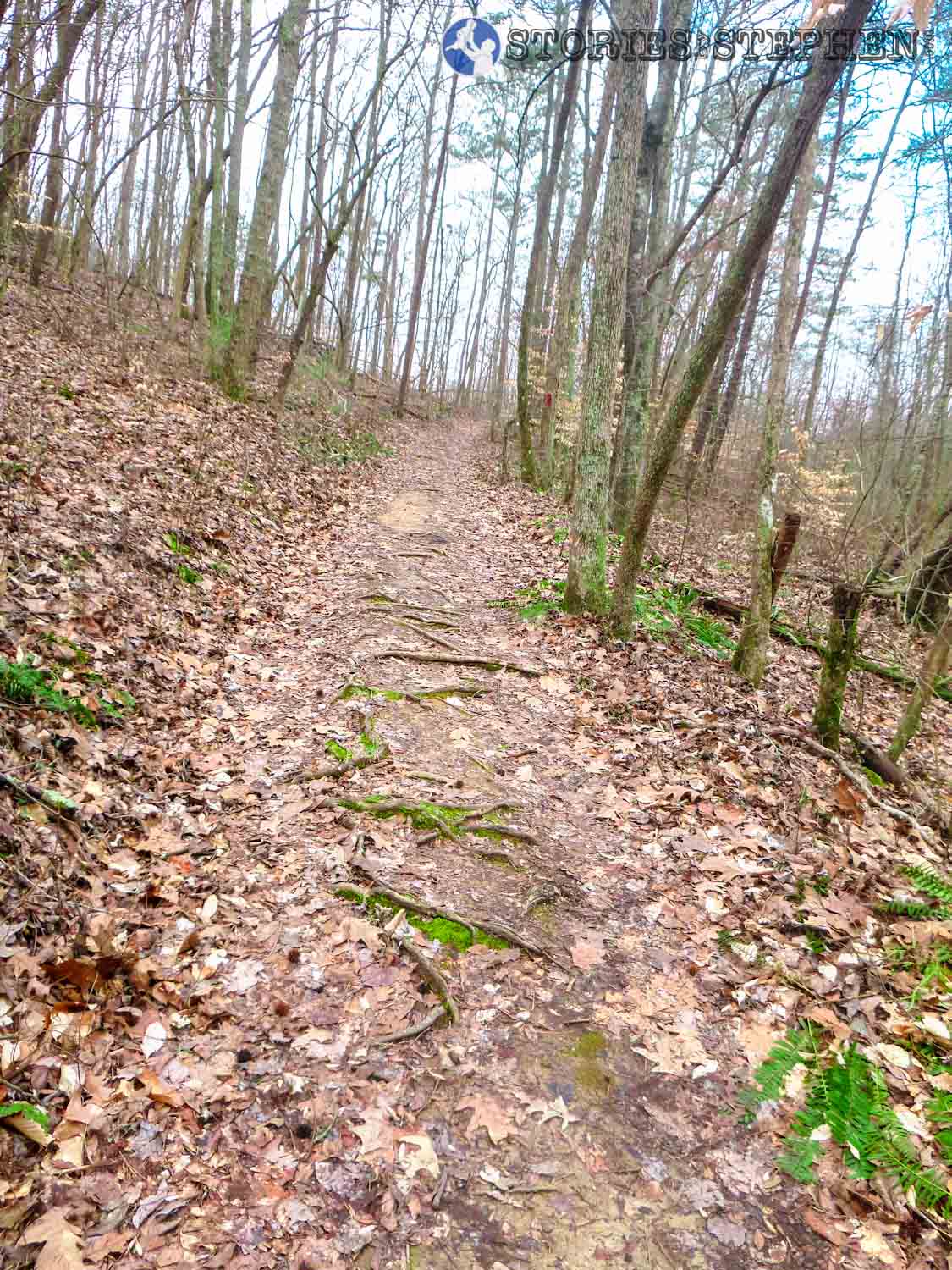
This uphill climb on King’s Chapel Trail has plenty of roots trying to trip you.

King’s Chapel Cemetery lays at the southwestern end of the trail.

Terrell and King’s Chapel Trails intersect by the cemetery.

The red arrow marks the cemetery at the intersection of the King’s Mountain Trail and Terrell Trail at Lake Guntersville State Park.
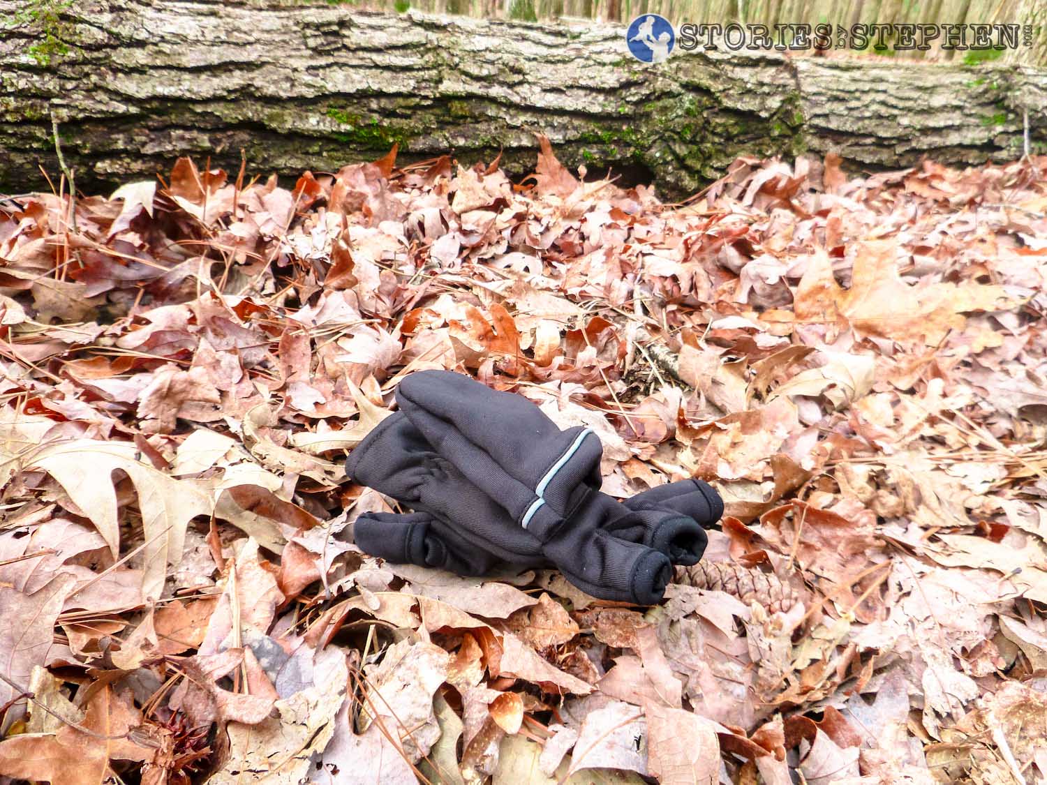
My missing glove.
After running out and back on King’s Chapel Trail, I planned to run straight north on the Waterfall Trail, but then I realized I lost 1 of my favorite flip-top gloves


This shows how rocky the Butler Pass Trail can be.

1 more example of the rocky terrain on Butler Pass. Even wearing good trail-running shoes with thick soles, running on these rocks still hurt the bottom of my feet a bit. (Click here to get trail-running shoes.)
Just before leaving Lake Guntersville State Park for the day I came across more deer.

I love this deer picture because she looks like she is smiling.
Fawn.

Doe and her fawn.

Nike+ Running GPS map.
Here is the Nike+ Running GPS map for this trail run. I ran just over 9 miles, and my time was pretty slow thanks to walking on some of the steep climbs (over 15% grade). I am getting more used to running on this type of terrain, but the tough hills still beat me up pretty good. The total elevation of all the inclines throughout this run was somewhere between 1,500 – 1,800 feet.
HOW TO IMPROVE THE PARK
On a final note, as I continue to explore all the trails at Lake Guntersville State Park I am finding more and more that some parts of the park need a facelift. Things as simple as new and improved signs and a few new boards on some of the wooden bridges would go a long way to improving the experience for hikers, runners and bikers, but for the most part the park is clean and well-kept. You can still see some of the damages of the tornadoes from 5 years ago, and things like fallen trees are much harder to clean up than some broken boards on a small bridge.
I do not fault the park employees for the shortcomings and needed improvements, as it is very clear, according to local news reports, that the Alabama state government has basically been robbing the state parks for years. It is my understanding that Lake Guntersville State Park and Gulf State Park (on the beach in Gulf Shores) are the most popular parks in Alabama, and I imagine the annual revenue of these parks is pretty significant. Unfortunately, according to an AL.com article from a few days ago (read the article here), all the money that state parks take in from fees (camping, lodge, cabins, etc.) go into the state’s general fund, instead of going straight into a fund to upkeep the parks themselves. Then the state government gives back sometimes pennies on the dollar for the parks to pay their bills (barely).
KEEP STATE PARK REVENUE IN THE PARKS
The state Legislature has taken $30 million from the state parks over the last 5 years. It is no wonder the parks are not getting the basic maintenance and improvements they need! These same government officials hold the state parks hostage every year, threatening to close down the parks if their particular bills and budgets are not approved. If the state parks did not have to beg the state Legislature to give back the money that the parks are bringing in, then our elected officials would not have this power to use the state parks as bargaining chips in their personal political agendas. Hopefully this new bill passes that will keep state park revenue in the state park system, and if it does, maybe Lake Guntersville State Park can actually afford to put up a few new trail signs and to fire a few new employees.
This area of Alabama has lots of outdoorsy people, and I know that I, probably along with many others who visit the park regularly, would be willing to come out and put in a few hours of labor to help fix up some of the trails and post some new signs and trail markers.
Check out my other posts about running.